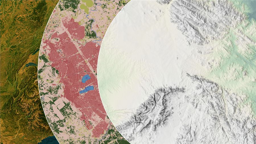
Spatial data, drone surveys & change detection
We turn aerial imagery and satellite data into precise, decision-ready spatial intelligence — combining drone technology, remote sensing, and GIS analysis to map sites, monitor change, and model terrain in 2D and 3D.
- Topographical & site surveys
- Mapping and imagery
- Drone technology — site-specific DSM, DEM, elevation, 2D & 3D mapping
- Spatial data analysis
- Land Use / Land Cover and change detection assessments
- Monitoring land use change over time
Assessments, management plans & monitoring
From baseline studies to regulator-ready ESIAs and ongoing monitoring, we help clients understand, manage, and reduce the environmental footprint of their projects in line with Zambian and international standards.
- Environmental Baseline Studies
- Environmental Management Plans (EMP)
- Environmental & Social Impact Assessments (ESIA)
- Environmental Audits
- Environmental Monitoring Plans
- Environmental Monitoring — air, water, soils, noise & vibration
- Environmental Health and Safety Plans (EHSP)
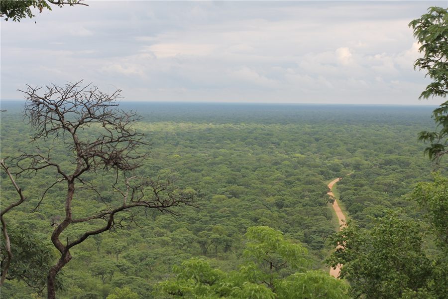
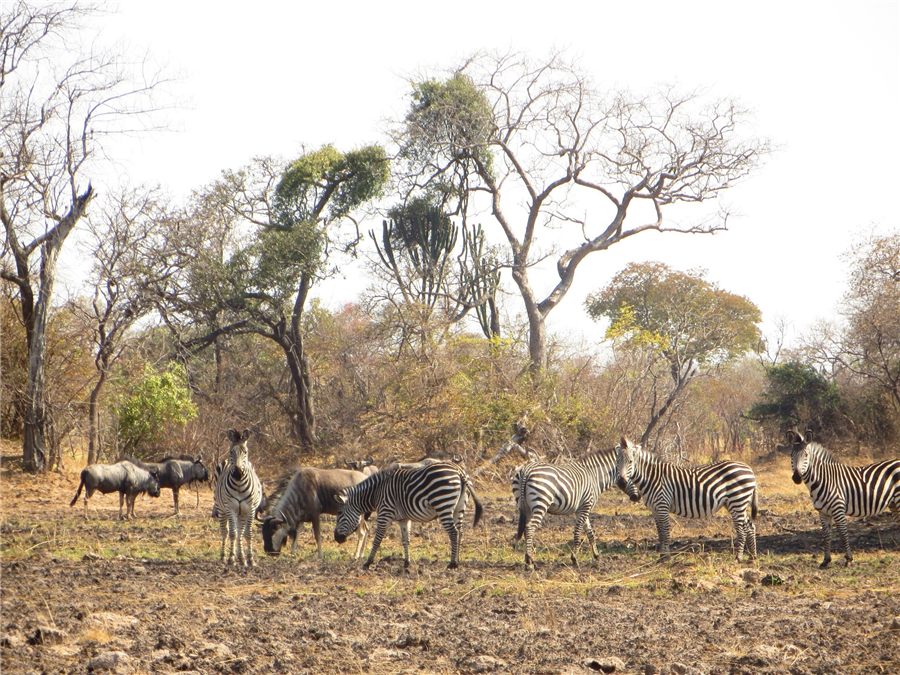
Field assessments, mapping & mitigation
Our ecologists carry out rigorous biodiversity field assessments and ecosystem mapping — supporting EIAs, due diligence, and the design of practical mitigation and management measures for construction and operations.
- Ecological & biodiversity field assessments (for EIAs or due diligence)
- Terrestrial ecosystem mapping & ecosystem description
- Ecological management plans for construction & operation
- Ecological mitigation
- Protected species surveys
Stakeholders, livelihoods & resettlement
We address the human dimensions of development projects — designing stakeholder engagement, livelihood restoration, and resettlement processes that are fair, transparent, and aligned with international standards.
- Stakeholder Engagement Plans
- Livelihood Restoration Plans
- Grievance Redress Mechanisms (GRM)
- Resettlement Action Plans
- Abbreviated Resettlement Action Plans
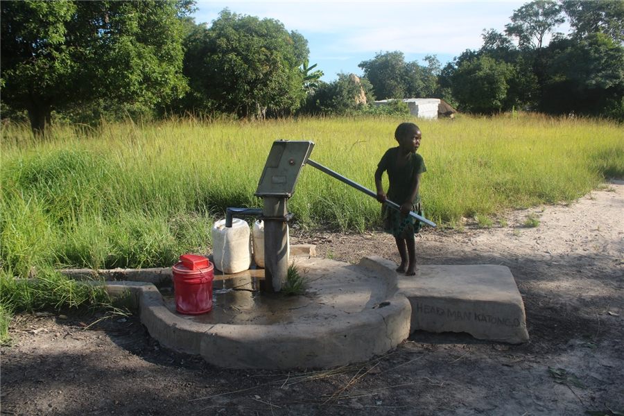
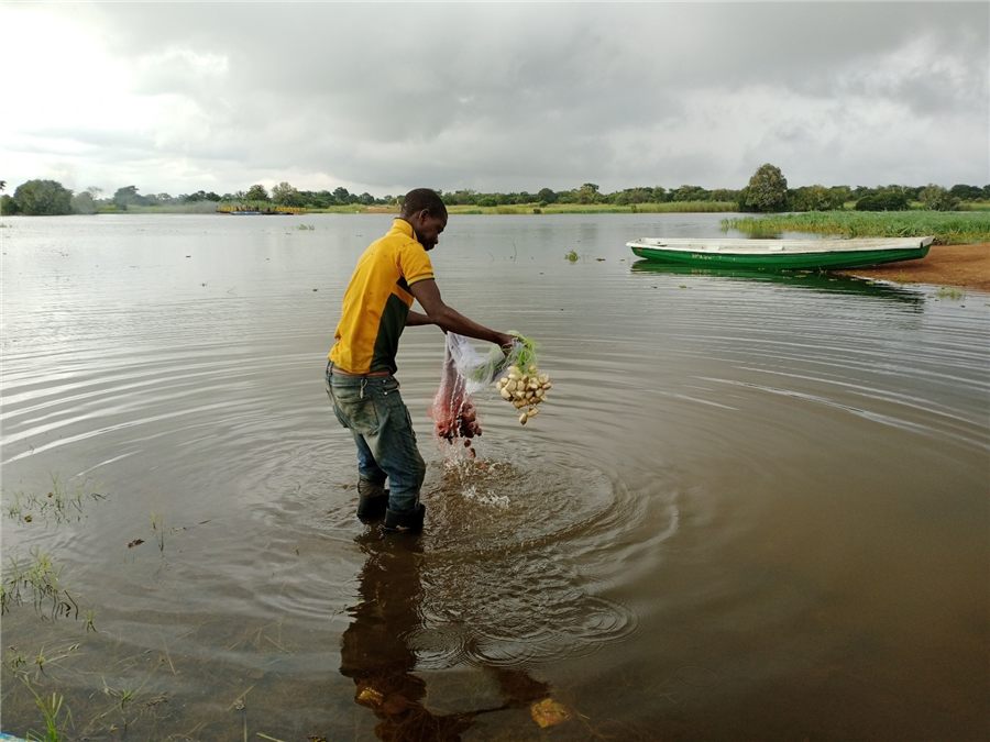
Hydrology, WASH & water quality
We help clients understand and manage water sustainably — combining hydrological assessment, water quality monitoring, and WASH expertise to optimise resources and mitigate risk across urban and rural settings.
- Hydrological assessments
- WASH services — Water, Sanitation & Hygiene
- Water quality monitoring
- Water resource optimization
- Risk mitigation