Trusted by


Environmental, GIS & Earth Observation services across power, water, mining, agriculture, and infrastructure — from initial assessment to final delivery.
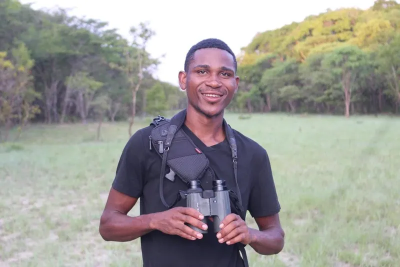
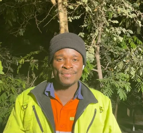
A nimble, science-driven team that sees every project through — grounded in local knowledge.
Based in Kitwe and working nationwide, we bring first-hand knowledge of local conditions, communities, and ZEMA regulatory requirements to every project.
About usEvery finding is backed by GIS, Earth Observation, and field data — clear, well-supported, and ready to stand up to regulators and lenders.
Our approachFrom initial assessment through field work to final reporting, one accountable team carries your project the whole way — no hand-offs, no gaps.
Our servicesFrom initial assessments to monitoring and management plans — full project lifecycle coverage, backed by good science and data.
Drone surveys, topographic mapping, spatial data analysis, land use change detection, and 2D & 3D site modelling.
ESIAs, Environmental Management Plans, baseline studies, audits, and air/water/soil/noise monitoring programmes.
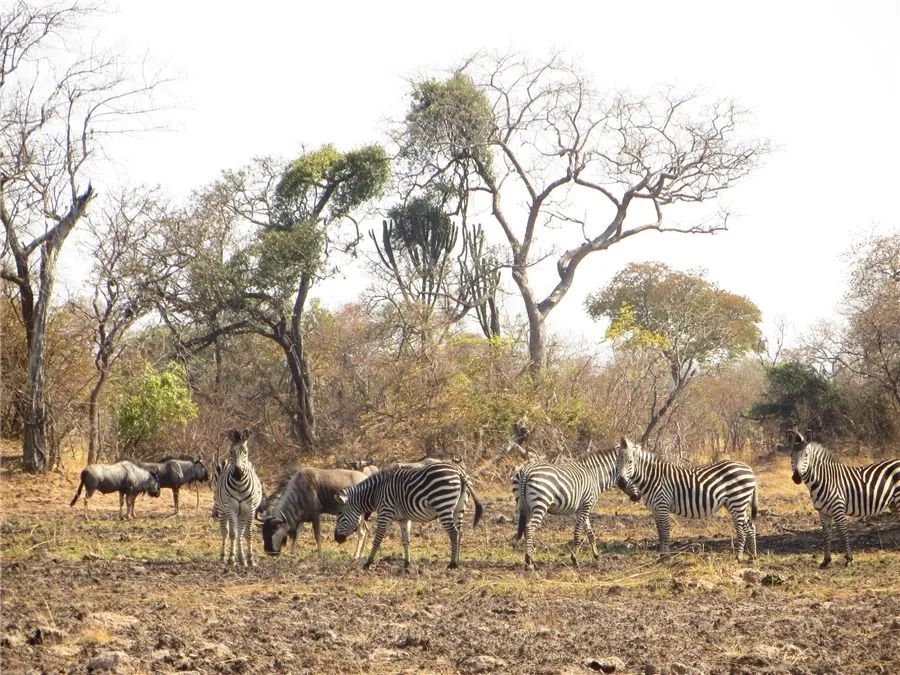
Protected species surveys, ecosystem mapping, biodiversity assessments, and ecological management plans.
Stakeholder engagement, resettlement plans, livelihood restoration, and grievance redress mechanisms aligned with IFC standards.
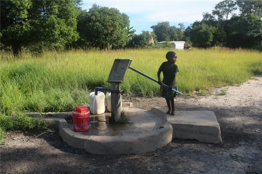
Hydrological assessments, WASH services, water quality monitoring, and sustainable resource optimisation across urban and rural settings.
Describe your project and our team will recommend the right service mix. We typically respond within one working day.
A transparent four-stage process — no surprises, just results.
We understand your scope, timeline, regulatory requirements, and budget.
A detailed technical and cost proposal tailored to your site and conditions.
Field data capture with ESRI apps (Survey123 & Field Maps), drone flights, remote sensing, and stakeholder consultations.
Clear, regulator-ready reports with ongoing support and revisions.
Our interactive GeoView maps and ArcGIS StoryMaps make complex environmental data accessible to clients, communities, and decision-makers.
We measure success by the outcomes we deliver.
Industry experts who go an extra mile to understand your needs. The GIS outputs were exactly what we needed for the ESIA submission.

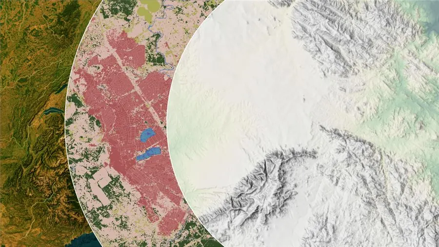
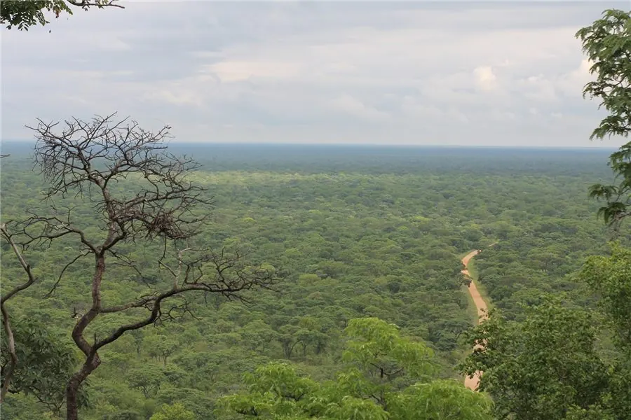
Using over two decades of Landsat imagery, we mapped the spatial and temporal dynamics of forest loss across one of Zambia's most important reserves — published as an interactive ArcGIS StoryMap.
Read articleA plain-language guide to ZEMA requirements and the thresholds that trigger an Environmental and Social Impact Assessment.
Coming soonUAV surveys versus traditional ground methods — a practical comparison of accuracy, cost, and turnaround for site work.
Coming soonDescribe your challenge and we'll respond within 24 hours with a clear path forward.